

How can we better understand the relationship between the places where we live, our behaviours and our health?
The HORUS Platform brings together the interactive visual content produced throughout the project, making its research more accessible and supporting the development of evidence-based policy recommendations.
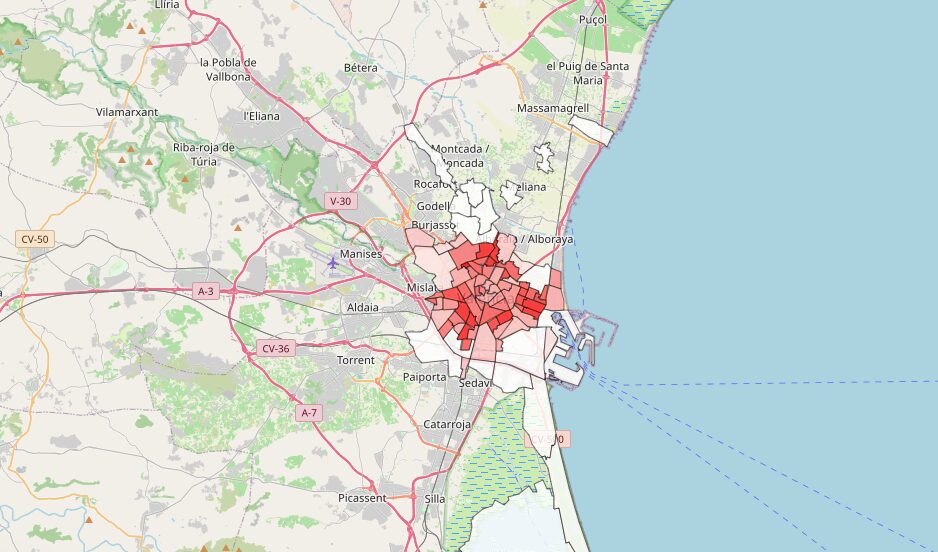
The platform includes a collection of interactive maps developed during the exploration and analysis of the three HORUS pilot cities. These combine different perspectives to provide a more comprehensive picture of urban environments and their relationship with health.
On the one hand, the platform presents the quantitative characterisation of urban environments, based on variables covering three main areas: the urban context, the prevalence of risk behaviours and the incidence of non-communicable diseases (NCDs). The assessment of the urban context considers aspects such as urban density, mobility, proximity and landscape, based on the Healthy Cities Generator methodology.
But understanding a city also means understanding how it is experienced by the people who live there. The platform therefore also includes participatory maps, created through research activities with residents in neighbourhoods across the three pilot cities. These maps incorporate qualitative information about citizens’ perceptions and lived experiences, complementing the quantitative analysis.
Alongside the maps, users can explore descriptions of the analyses carried out, the main results and useful conclusions emerging from the research.
By bringing these different layers of information together, the HORUS Platform provides an interactive way to explore the connections between urban environments, health behaviours and NCDs.
Explore the HORUS Platform: https://horus.baxcompany.com/